
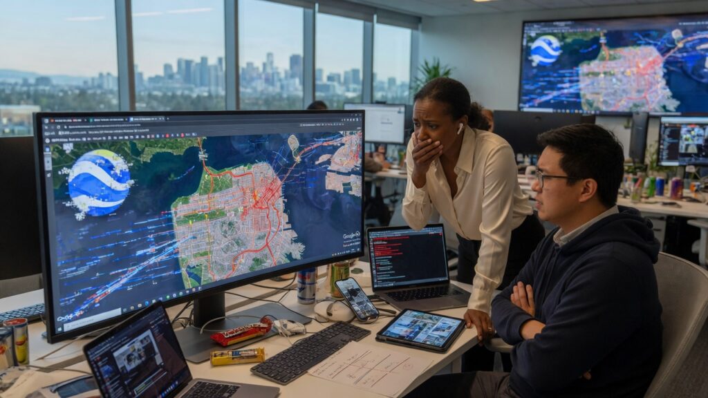
Google Earth AI image generation was pulled after deepfakes enabled users to create fake disaster scenarios within hours of launch, exposing critical weaknesses in AI deployment strategies for geospatial platforms.
The Rapid Rollout And Immediate Backlash
Tech teams often prioritize speed when introducing AI features to cloud infrastructure, yet this approach can overlook real-world misuse patterns. In this case, the new image generation tool allowed instant alterations to satellite views, leading participants to simulate crises such as floods and structural collapses across major urban centers.
Deepfake Risks In Geospatial AI Systems
Integrating generative models into mapping services places heavy demands on data centers and raises immediate cybersecurity concerns. Unauthorized deepfake content can spread through shared cloud environments, potentially misleading emergency response systems that rely on accurate satellite data for infrastructure monitoring.
Impact On Data Integrity And Verification
Beginners exploring AI tools should note that without robust content authentication layers, generated images undermine trust in the underlying datasets. This incident highlights how quickly synthetic media can challenge the reliability of location-based services used by governments and enterprises.
Lessons For Future AI Infrastructure Deployments
Companies managing large-scale AI workloads must embed proactive safeguards such as usage monitoring and prompt filtering before public release. The swift reversal demonstrates that overlooking human factors in AI design can result in costly operational shutdowns and reputational damage across the tech sector.